Thames Strategy London Central
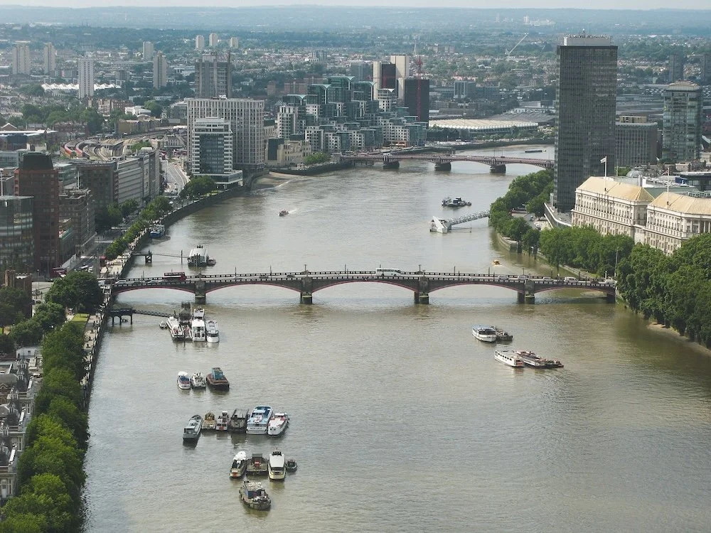
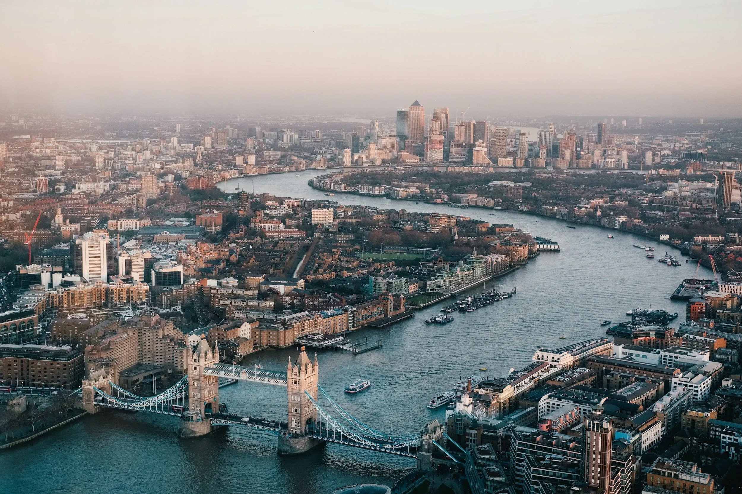
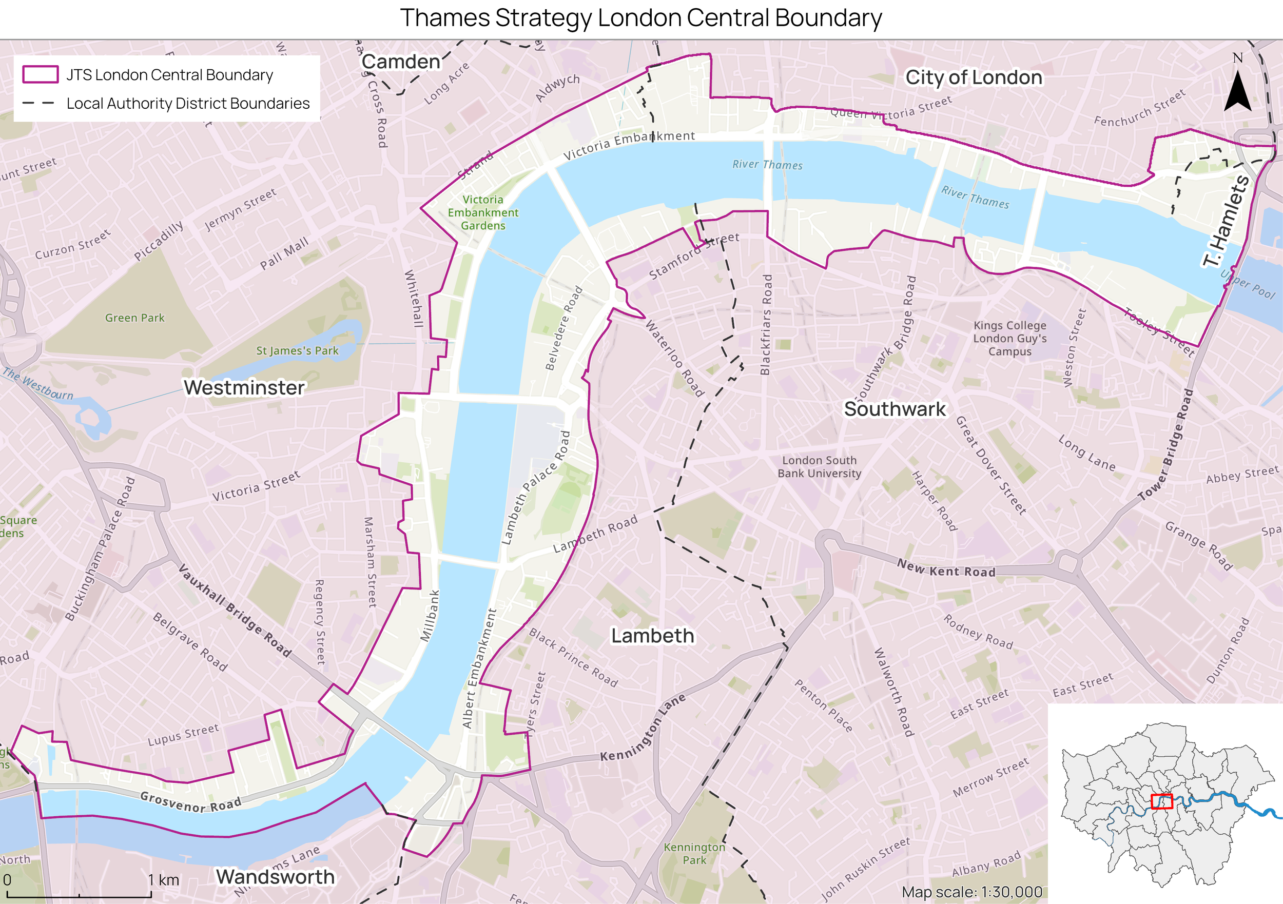
The Thames Strategy London Central covers the stretch of the river from Chelsea bridge to Tower Bridge, encompassing the Westminster, Lambeth, City of London and Southwark councils.
This area is heavily characterised by historic cultural and institutional buildings as well as financial institutions and recreational and public spaces. This mix creates a diverse space that is also distinguished by areas of heavy population density and movement, particularly where there are notable tourist attractions.
Around the riverside, the area from Chelsea Bridge eastwards toward Tower Bridge encapsulates a varied cross-section of London’s riverside character — where there is layered history and evolving urban energy. As you walk downriver, you can feel a transition from leafy calm to a historic working river and offers a textured slice of London where water, history and the contemporary city intersect.
Area description
About the work
The Thames Strategy London Central is being developed by the Thames Estuary Partnership (TEP). Originally, there were three strategies that were created to characterise the Thames riverside, Thames Landscape Strategy (from Weybridge to Kew). Thames Strategy Kew to Chelsea and Thames Strategy East (from Tower Bridge to Gravesend) - effectively leaving a gap in the central section.
While the other strategies in this programme are being refreshed from their original publications, the work in the Thames Strategy London Central has been developed to effectively ‘close the gap’ in our assessments of the Thames riverside.
These reaches will be represented in the strategy through detailed Landscape Character Assessments of the areas, as well recommendation for how to enhance the riverside and protect it from future flood events.
The work on this strategy has also been developed with the assistance of the riparian councils - through the Thames Strategy London Central Steering Group, and community groups – through dedicated engagement events. It is crucial for the TEP to engage the groups who live and breathe the river Thames. It is essential for us to keep the people who know the river better than anyone at the core of our project so we can accurately reflect their needs and concerns.
The strategy in this area will be divided into three reaches, each of which has been determined based on the specific character of the riverside. They include:
Chelsea to Westminster: Predominantly residential with significant leisure spaces – upscale residential areas, cultural institutions and recreational spaces
Westminster to South Bank: Cultural hub with a mix of institutional buildings, cultural venues and public spaces
Blackfriars to City: A mix of historic architecture, financial institutions, and commercial developments.